




Sedona’s best hikes span every skill level, from the flat 3.6-mile Bell Rock Pathway to the strenuous 4.6-mile Bear Mountain climb. Top view hikes include the Airport Mesa Loop and Doe Mountain, while vortex energy concentrates at four sites: Airport Mesa, Cathedral Rock, Bell Rock, and Boynton Canyon. Most trailheads require a $5 Red Rock Pass, and early starts help you beat both the heat and the crowds.
Red sandstone buttes rise straight out of the juniper forest around Sedona, carved over millions of years into towers, arches, and spires. At sunrise, the whole skyline turns a deep orange-red, and by midday the same rock glows almost white under the desert sun.
That range of light is part of why so many people come back to hike here again and again. Whether you want a short walk to a viewpoint or a full day on a mountain, Sedona Arizona trails cover the range.
In this Sedona hiking guide, you’ll find the best hikes in Sedona AZ organized three ways: by difficulty, by view quality, and by vortex energy, along with what to know and what to pack before you head out.
A Quick Hello Before We Continue
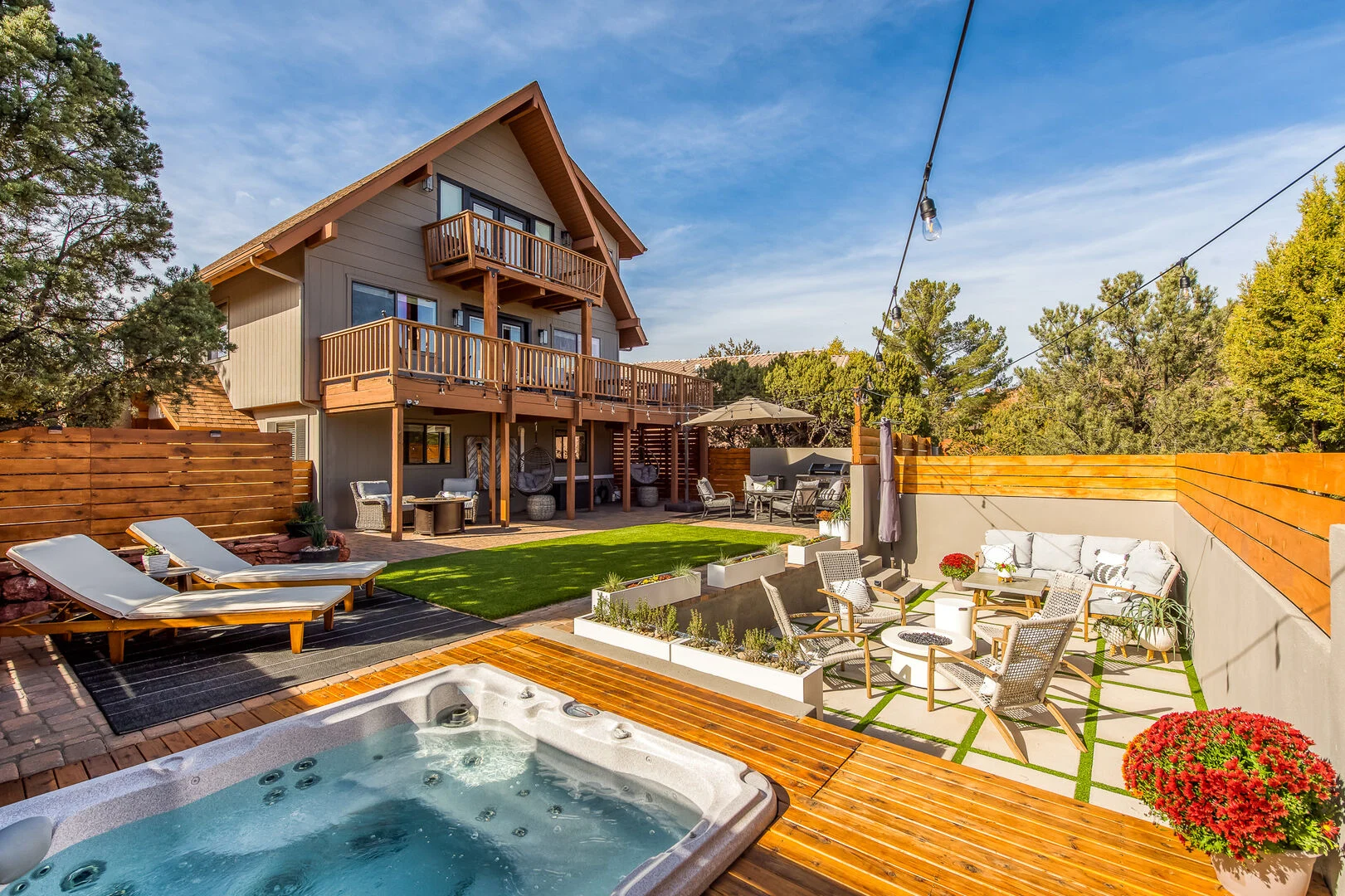
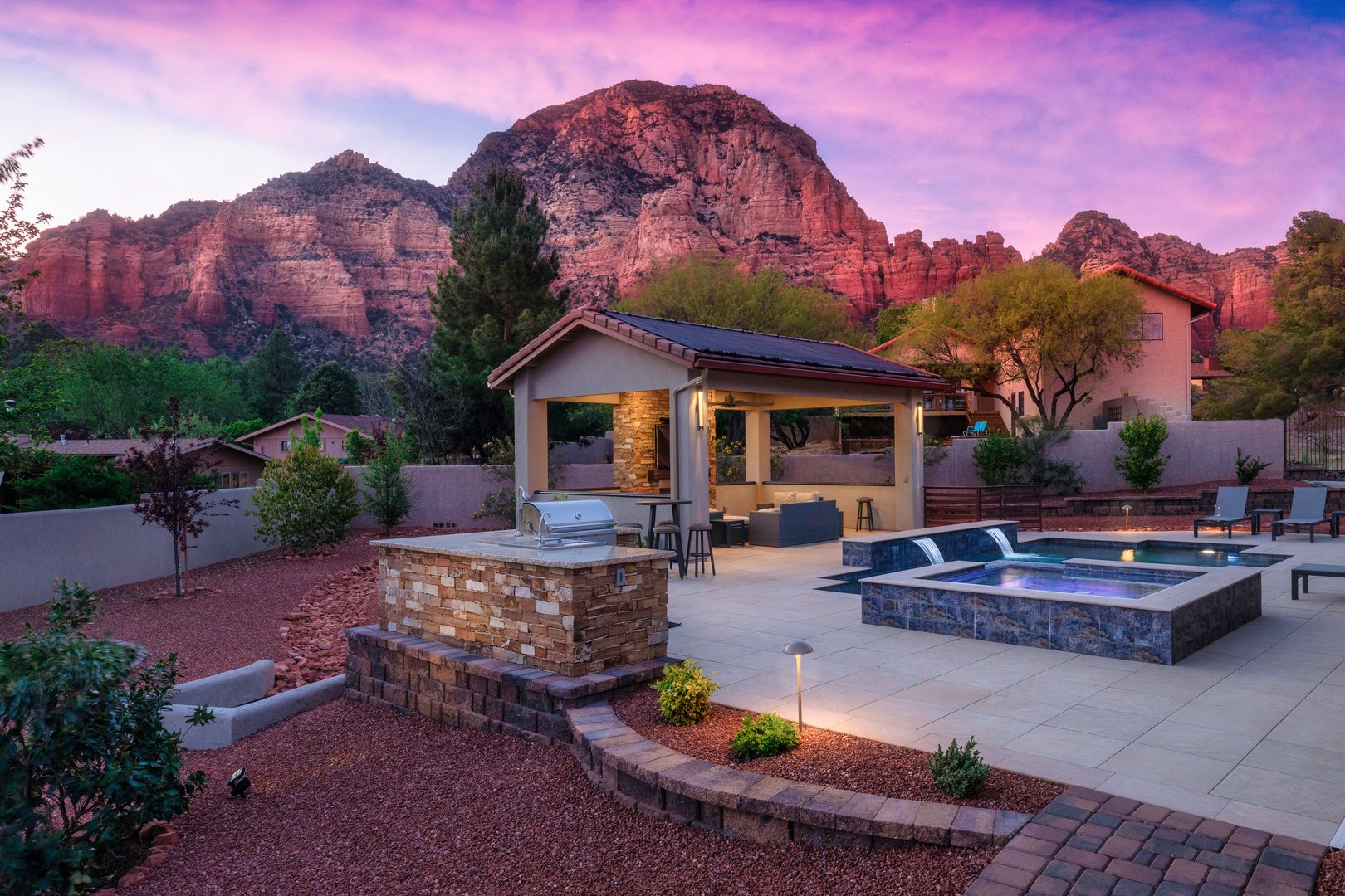
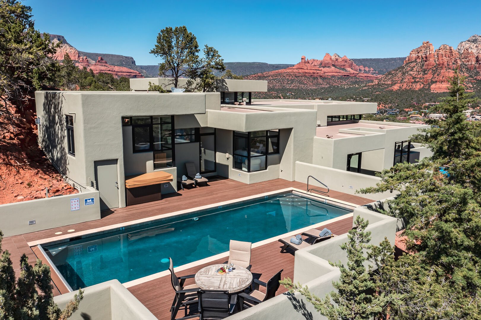
At Sedona.org, we offer a collection of vacation rentals that give you room to spread out, relax, and enjoy the area at your own pace. As experts in all things Sedona, our destination blog is packed with local tips to help you plan an Arizona trip that feels truly personal, including where to take great photos and how to enjoy fall in Sedona.
Contents
- Best Sedona Hikes by Difficulty
- Best Sedona Trails for the Views
- Sedona’s Vortex Energy Hikes
- Know Before You Go
- What to Pack
- Frequently Asked Questions
- Ready to Explore Sedona’s Red Rocks?
Best Sedona Hikes by Difficulty
Easy hikes
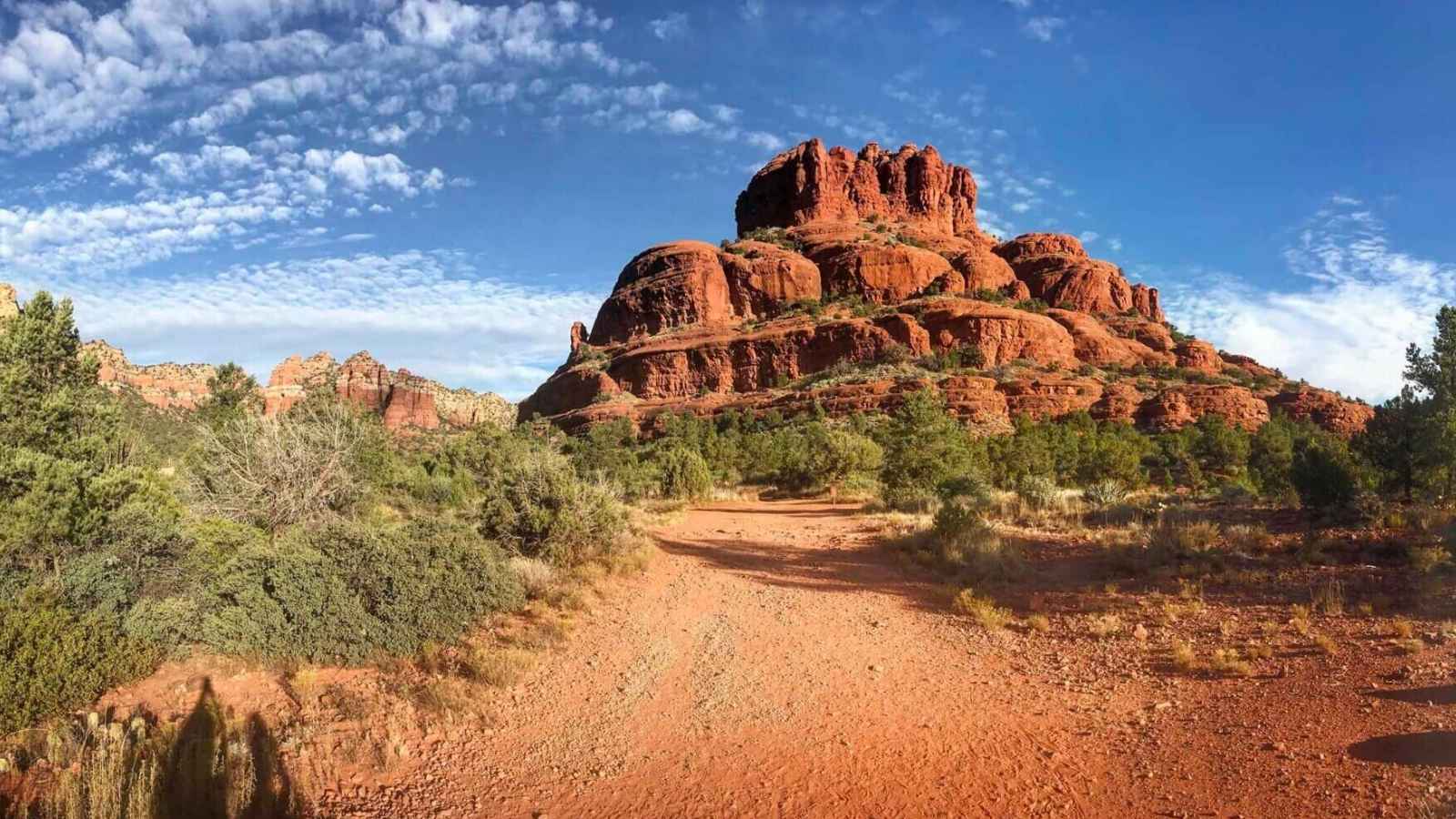
Bell Rock Pathway
- Distance: 3.6 miles round trip
- Location: Village of Oak Creek, off SR-179
- Difficulty: Easy
This wide, mostly flat pathway runs alongside Bell Rock and Courthouse Butte, so you get big red rock views without much climbing. Kids and casual walkers do well here, and you can scramble partway up Bell Rock itself if you want a bit more of a challenge.
Fay Canyon Trail
- Distance: 2.1 miles round trip
- Location: Off Boynton Pass Road, west of Sedona
- Difficulty: Easy
Fay Canyon stays mostly flat and shaded, winding between red sandstone walls to a dead end at a Supai sandstone cliff. It’s a good pick on hot afternoons since tree cover keeps it cooler than more exposed trails.
West Fork Trail
- Distance: About 6 miles round trip for the maintained section (the trail continues beyond that for experienced hikers, up to 14 miles round trip)
- Location: Oak Creek Canyon, off SR-89A north of Sedona
- Difficulty: Easy for the first 3 miles
West Fork follows a creek bed through Oak Creek Canyon, crossing the water several times over stepping stones, with a shaded canopy that makes it one of the coolest hikes in the area. The maintained trail ends after three miles, past which the route gets rougher and requires wading through the streambed.
Moderate hikes
Devil’s Bridge Trail
- Distance: 1.6 miles round trip from the trailhead itself, or roughly 4.2 to 4.8 miles round trip if you park at Mescal or Dry Creek Vista and walk in
- Location: West Sedona, off Dry Creek Road
- Difficulty: Moderate
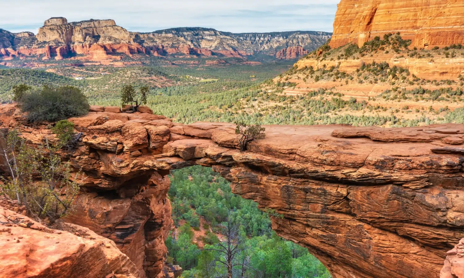
Devil’s Bridge is the largest natural sandstone arch in the Sedona area, and most hikers reach it without a 4×4 by parking farther out and walking the access road in. The final stretch involves a stone staircase and some rock scrambling before you reach the arch itself.
Doe Mountain Trail
- Distance: 1.5 miles round trip
- Location: Boynton Pass Road
- Difficulty: Moderate
A short, steady climb takes you up switchbacks to a flat mesa top with 360-degree views. It’s one of the fastest ways in Sedona to get a big payoff for a short hike.
Airport Mesa Loop
- Distance: 3.3 to 3.5 miles round trip
- Location: Airport Road
- Difficulty: Moderate
This loop circles the mesa above the Sedona airport, with rocky sections on the east side and wide views in every direction. It’s popular at sunset, when small planes take off below and the rock formations catch the light.
Soldier Pass Trail to Seven Sacred Pools and Devil’s Kitchen
- Distance: Roughly 4.5 to 5 miles round trip to see both features and return
- Location: Soldier Pass Road
- Difficulty: Moderate
This trail passes Devil’s Kitchen, a large sinkhole near the start, then continues to the Seven Sacred Pools, a series of sandstone potholes fed by a seasonal stream. Parking is limited to 14 spots at the trailhead, so an early start matters here more than almost anywhere else in Sedona.
Boynton Canyon Trail
- Distance: About 6 miles round trip (roughly 3 miles one way)
- Location: Boynton Canyon Road, near Enchantment Resort
- Difficulty: Easy to moderate
Boynton Canyon follows a mostly gentle grade along a streambed, passing beneath towering red cliffs before a steeper final push to a viewpoint boxed in by rock on three sides. The lower canyon runs close to a resort development, but the trail opens into quieter, more secluded terrain the farther in you go.
Strenuous hikes
Cathedral Rock Trail
- Distance: 1.1 to 1.5 miles round trip (differs slightly depending on where the trail is measured from)
- Location: Back O’ Beyond Road
- Difficulty: Strenuous
Don’t let the short distance fool you. This trail climbs roughly 650 to 750 feet in under a mile, with rock scrambling and a narrow rock passage near the top. The saddle at the end delivers one of the most photographed views in Arizona, but fewer than half the people who start actually finish the climb.
Bear Mountain Trail
- Distance: 4.6 miles round trip
- Location: Boynton Pass Road
- Difficulty: Strenuous
Bear Mountain climbs about 2,100 to 2,300 feet over tilted slickrock benches with almost no shade. It’s rated strenuous by the Forest Service and typically takes five or more hours round trip, but it rewards the effort with some of the widest views in the Sedona area.
Best Sedona Trails for the Views
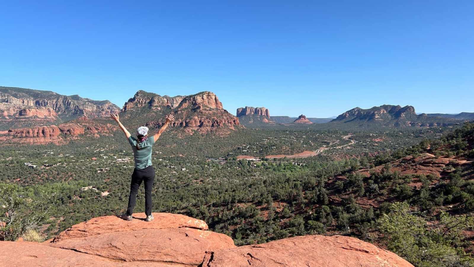
A few trails stand out even among this list. The Airport Mesa Loop offers a genuine 360-degree panorama and is especially popular at sunset, when the rocks take on a deep red glow.
Doe Mountain’s flat summit gives you an uninterrupted look over Boynton Canyon, Fay Canyon, and the Verde Valley beyond, all for a 1.5-mile round trip.
For hikers willing to earn it, Bear Mountain’s summit views stretch across nearly the entire Sedona basin. And the saddle at the top of Cathedral Rock puts you at eye level with the rock spires that define Sedona’s skyline, a view you can’t get from the road.
Sedona’s Vortex Energy Hikes
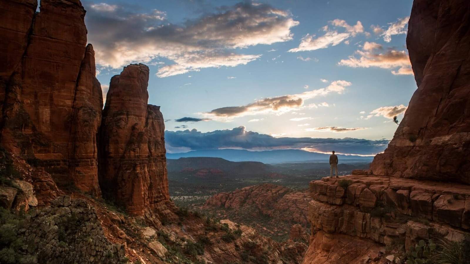
Sedona is widely known for its energy vortex sites, places where visitors report feeling a heightened sense of calm, focus, or emotional release. This isn’t a scientific claim. It’s a belief shared by many visitors and local practitioners, and it’s worth understanding as part of the culture here even if you’re skeptical.
The four best-known vortex sites are Airport Mesa, Cathedral Rock, Bell Rock, and Boynton Canyon, and each is said to radiate its own particular type of energy.
Airport Mesa is generally described as a masculine or upflow vortex, tied to clarity and confidence. Cathedral Rock is often called Sedona’s strongest feminine vortex, associated with emotional healing. Bell Rock and Boynton Canyon are usually described as balanced sites, combining both energies, with Boynton Canyon considered the most secluded of the four and significant to the Yavapai-Apache people as a place of origin.
You don’t need a special hike to visit these spots. All four vortex sites sit directly on trails already covered above, and Boynton Canyon pairs well with nearby Fay Canyon if you want to turn it into a longer morning out.
Know Before You Go
Most Sedona trailheads sit inside Coconino National Forest and require a Red Rock Pass, which costs $5 for a day or $15 for a week. You can buy one at trailhead kiosks, the Sedona Visitor Center, or online through Recreation.gov. Display it on your dashboard, since citations are issued to vehicles without one.
The free Sedona Shuttle runs Thursday through Sunday and serves several of the busiest trailheads, including Cathedral Rock, Soldier Pass, and Devil’s Bridge access points. Parking lots at these trails often fill by 7 a.m., so the shuttle, or an early start, makes a real difference.
Heat is the biggest safety factor here. The Coconino National Forest recommends at least one liter of water per person per hour in hot conditions, and daytime highs regularly top 100 degrees from May through October. Start early and avoid hiking between roughly 10 a.m. and 4 p.m. in summer.
Sedona’s wildlife includes deer, javelina, and rattlesnakes, all of which are best enjoyed from a distance rather than approached.
What to Pack
- At least one liter of water per person per hour, plus electrolytes for longer or hotter hikes
- Sturdy hiking shoes with good grip for slickrock and rock scrambling
- Sun protection: hat, sunscreen, and sunglasses, since many trails have little to no shade
- A downloaded offline map, since cell service is spotty on several trails
- A printed or displayed Red Rock Pass for trailhead parking
Frequently Asked Questions
Do I need a permit to hike in Sedona? Most trailheads inside Coconino National Forest require a Red Rock Pass, which costs $5 for a day or $15 for a week. A few sites, including West Fork’s Call of the Canyon parking area, are run by a concessionaire and charge a separate fee instead.
What is the easiest hike in Sedona with the best views? Bell Rock Pathway and Doe Mountain both offer strong views for relatively little effort. Bell Rock Pathway is flatter and longer at 3.6 miles, while Doe Mountain is shorter at 1.5 miles with more climbing but a payoff of full 360-degree views from the summit.
When is the best time of year to hike in Sedona? Spring and fall bring the most comfortable hiking temperatures, generally in the 60s to 80s Fahrenheit. Summer daytime highs regularly top 100 degrees, so early morning starts become essential from May through October.
Ready to Explore Sedona’s Red Rocks?
Sedona’s trails reward the effort you put into planning them. The right hike at the right time — Cathedral Rock at sunrise, the Airport Mesa Loop at sunset, Doe Mountain when you want big views without a big commitment — makes the difference between a good day outside and one you talk about for years.
When you’re ready to book your trip, Sedona.org offers vacation rentals that give you room to spread out and explore at your own pace. Browse our listings and start putting your Sedona itinerary together.